Skip to content
CALENDAR
Sant Fruitós de Bages
Igualada
Santa Susanna
Sea Otter Europe Girona
REGULATION
REGISTRATION
Photographs
CONTACT
CALENDAR
Sant Fruitós de Bages
Igualada
Santa Susanna
Sea Otter Europe Girona
REGULATION
REGISTRATION
Photographs
CONTACT
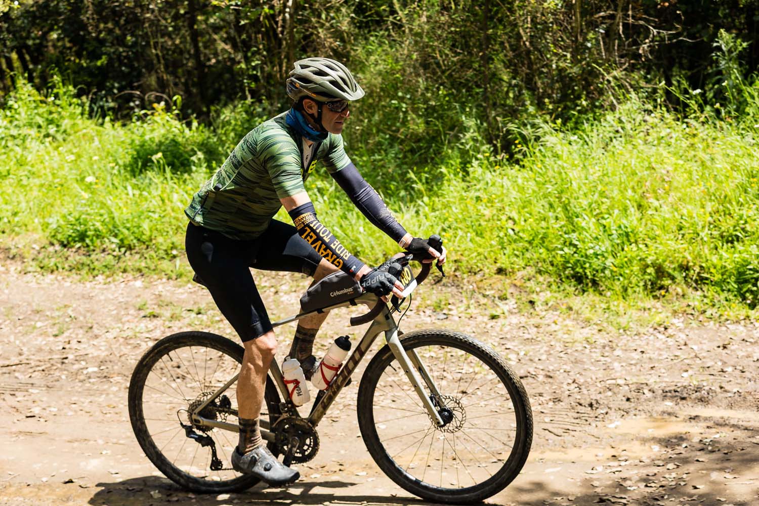
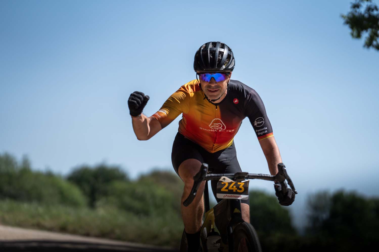
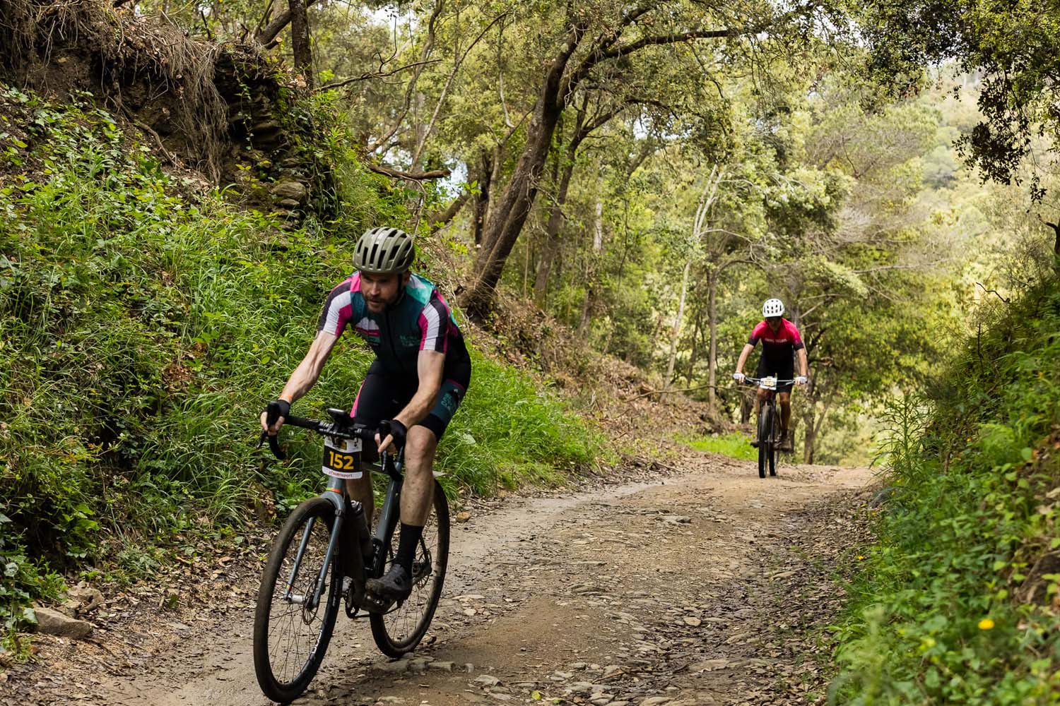
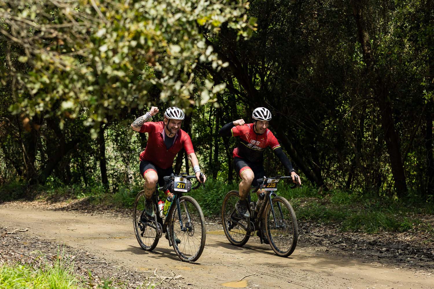
REGISTRATION
stages
GRAVEL RIDE TOUR
SANT FRUITÓS DE BAGES
JANUARY 31ST 2026
GRAVEL RIDE TOUR
IGUALADA
APRIL 4TH 2026
GRAVEL RIDE TOUR
SANTA SUSANNA
APRIL 25TH 2026
CONTINENTAL GRAVEL RIDE TOUR SEA OTTER EUROPE -GIRONA
SEPTEMBER 20TH 2026
institutional sponsor
HOSTING DESTINATION
main sponsor sant fruitós
main sponsor girona
official bike wash
technology partner
OFFICIAl MAPPING
SUPPORTED BY
organizing
Legal notice
Cookies policy
Privacy policy
Privacy policy social networks
Legal notice
Cookies policy
Privacy policy
Privacy policy social networks
Instagram
Youtube